Author Archive

InicioAuthor's Article(s) suzarso

On the 28th of January, the so-called geodemographic digital twin of Zaragoza was presented, a tool that takes data on more than 50 variables, covering areas such as population, household structure, housing, income and access to public facilities; and allows the location of households with vulnerable people in the city to be identified in great […]

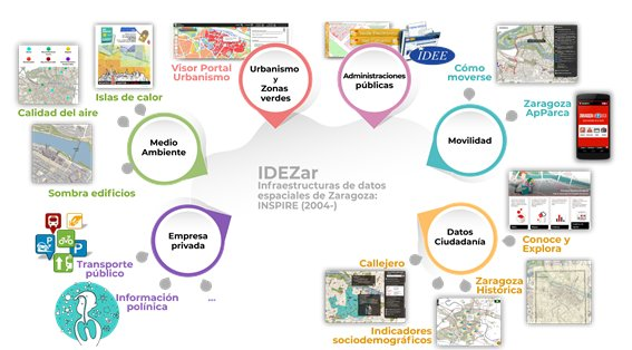
This October, the new urban planning portal of Zaragoza City Council was launched. It was developed under the guidelines of the European INSPIRE Directive, the purpose of which is to facilitate access, exchange and use of public geographic information, promoting better management and transparency and helping to make more informed and sustainable decisions.

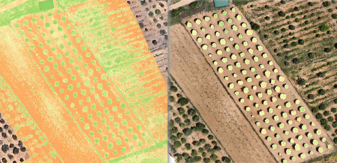
On 3 May, a webinar was held to present the new remote sensing module of AGROSLAB. This module includes two indices of great interest to know the evolution of crops: NDVI Index, which stands for Normalized Difference Vegetation Index, commonly known as the greenness index, as it indicates the vegetative vigour, i.e. the greenness, density […]

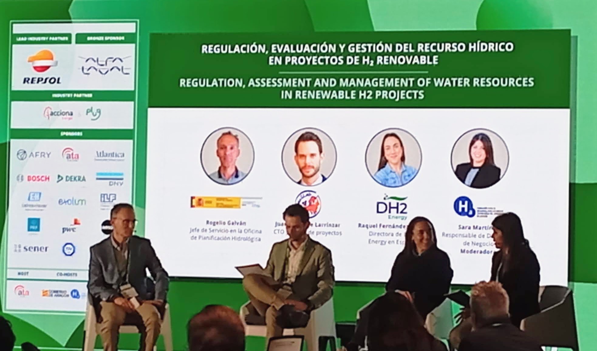
H2iber Project: Assessment and Management of water resources in renewable H2 projects, is an innovative project that seeks to improve the management of water and water resources in renewable hydrogen projects, through the collection of information, the assessment of the effects of climate change and the design of intelligent and digitised processes.

0
0
color
https://www.geoslab.com/wp-content/themes/alder/
https://www.geoslab.com/en/home/
#c1c1c1
style1
paged
loading posts...
/var/www/geoslab.com/
#
on
none
loading
#
Sort Gallery
on
yes
yes
off
on
off
en