PRESENTATION OF THE GEODEMOGRAPHIC TWIN OF ZARAGOZA
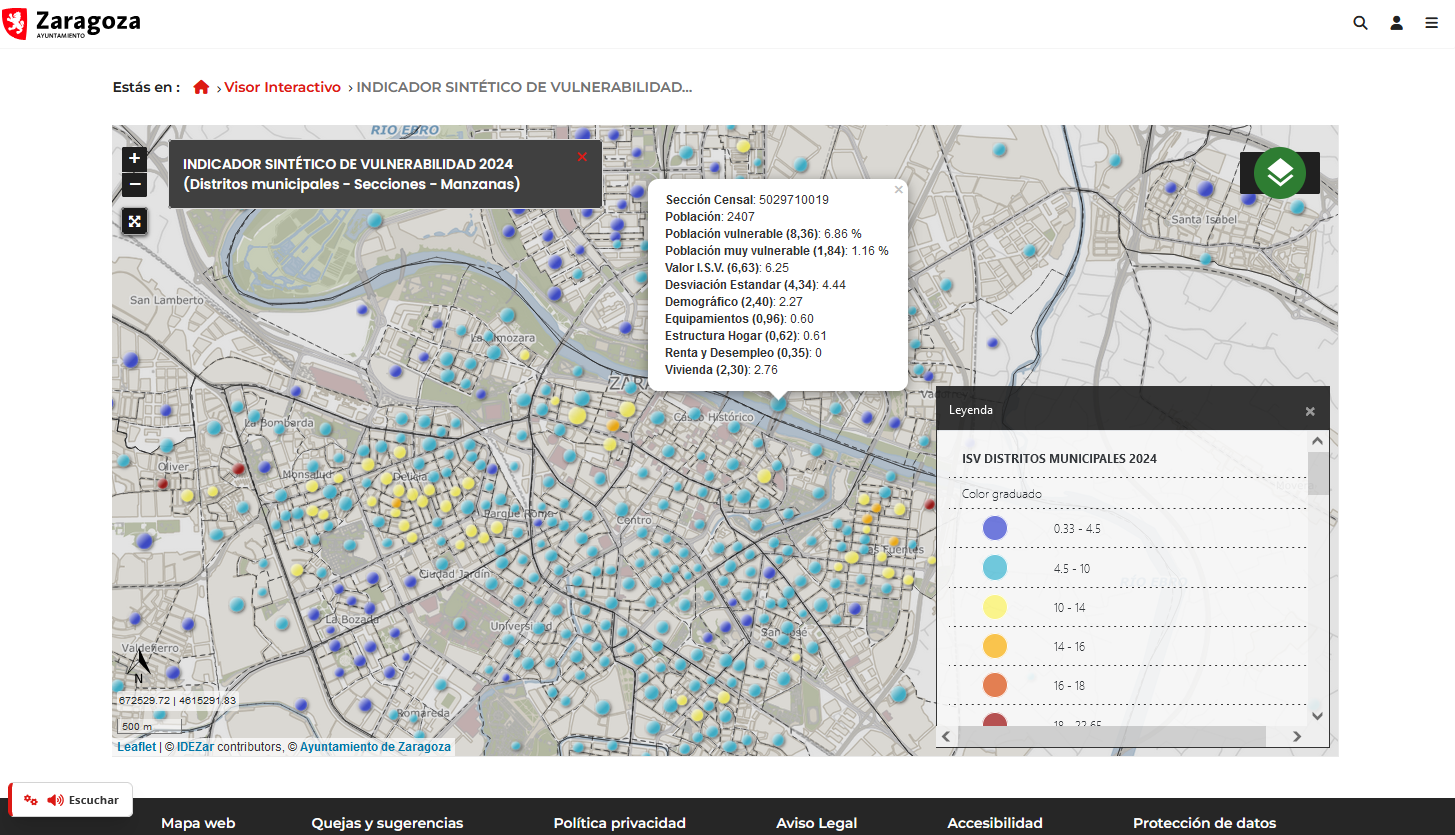
On the 28th of January, the so-called geodemographic digital twin of Zaragoza was presented, a tool that takes data on more than 50 variables, covering areas such as population, household structure, housing, income and access to public facilities; and allows the location of households with vulnerable people in the city to be identified in great detail.
This is an indicator developed by the Chair of Territory, Society and Geographical Visualisation of the University of Zaragoza and framed within the Zaragoza City Council’s Data Strategy, and constitutes an important step in the city’s digital transformation strategy and in its positioning as a Smart City on a national and European level.
The digital twin has been designed with strict data protection controls and will only be accessible for internal use within the City Council.
In this sense, it is an important working tool on two levels:
- Development of more effective and faster public policies, based on evidence.
- Efficient management of public resources by municipal technicians, who will have up-to-date information for decision-making.
On the other hand, through Conoce y Explora Zaragoza , a tool developed by GEOSLAB, the City Council offers interactive visualisation tools to publish and consult this type of indicators in a simple way and adapted to different scales. This facilitates the understanding and analysis of all the knowledge generated in the process of developing the different indicators.
Published in the media:
https://www.zaragoza.es/sede/servicio/noticia/337847
https://diarioaragones.com/zaragoza-presenta-su-primer-gemelo-digital-para-medir-la-vulnerabilidad/


