This website uses cookies so that we can provide you with the best user experience possible. Cookie information is stored in your browser and performs functions such as recognising you when you return to our website and helping our team to understand which sections of the website you find most interesting and useful.

REMOTE SENSING PLATFORM
PROTOTYPE FOR AUTOMATIC DOWNLOAD AND PROCESSING OF SATELLITE IMAGERY

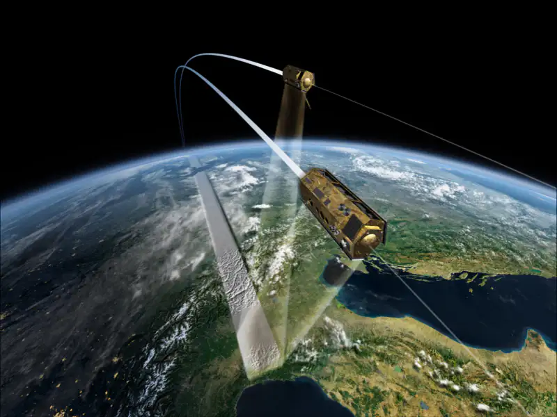
The main objective of the project has been the design and construction of a prototype platform that systematically collects remote sensing data and processes it to generate products that are directly marketable or serve as a basis for the creation of other remote sensing products with greater added value. Basically, the aim is to reverse the traditional process approach in the field of these technological solutions, so that remote sensing products are available prior to their sale. All this in an automatic way.
Grants for Digital, Integrating and Sustainable Industry, within the framework of the Programme for Industry and SMEs in Aragon (PAIP), in the context of the Strategy for Social and Economic Recovery of Aragon.
ORDER ICD/724/2020, of July 29th


