INTERACTIVE MAPS ON DEMAND
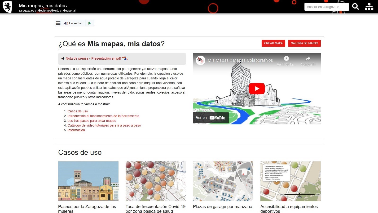
Zaragoza City Council is launching a pioneering application that will allow users to design and share interactive maps of the city using the Council’s own open data sets or other sources of information.
This initiative is part of the line of work of the Office of Participation, Transparency and Open Government, which seeks to develop tools and services so that citizens can get to know their city better.
“Mis mapas, mis datos” allows users to generate their own cartography on information of interest, such as drinking water sources, sports centres, bicycle parking, areas with less pollution and noise, green zones or access to public transport, among others.
Once designed, the maps can be saved as private or published to share the information with other citizens, creating collaborative networks and an ecosystem of dissemination on the platform itself.
This application is a use case of BeMaps, a project we have been working on for several years with the Spatial Planning Group of the University of Zaragoza, to make it easier for anyone to create and share maps in an easy and intuitive way, without advanced technical knowledge.
In this case, an independent instance of the tool has been created, making the necessary adaptations to integrate it into the electronic headquarters of Zaragoza City Council.
In the media:


