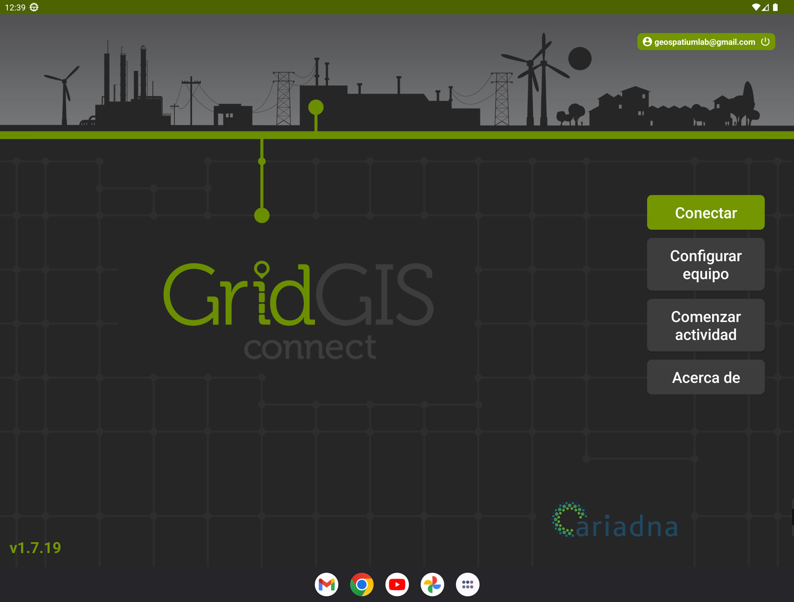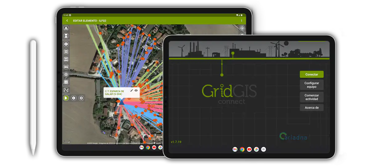

GRIDGIS D-TWIN
GridGIS D-Twin is an app for digitising Low Voltage electrical networks developed especially to work with Merytronic’s (Ariadna Grid partner) portable equipment.
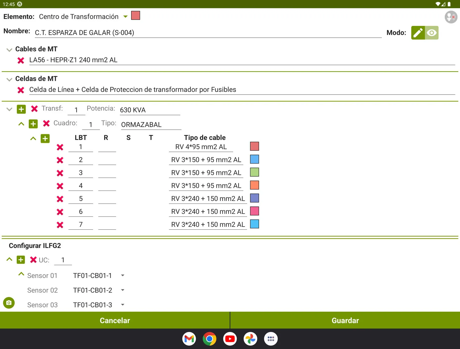
It offers a complete and efficient solution that allows storing and automatically transferring the data collected in the field (network topology, power line layout, network inventory, meter barcodes, …) to the company’s GIS system.
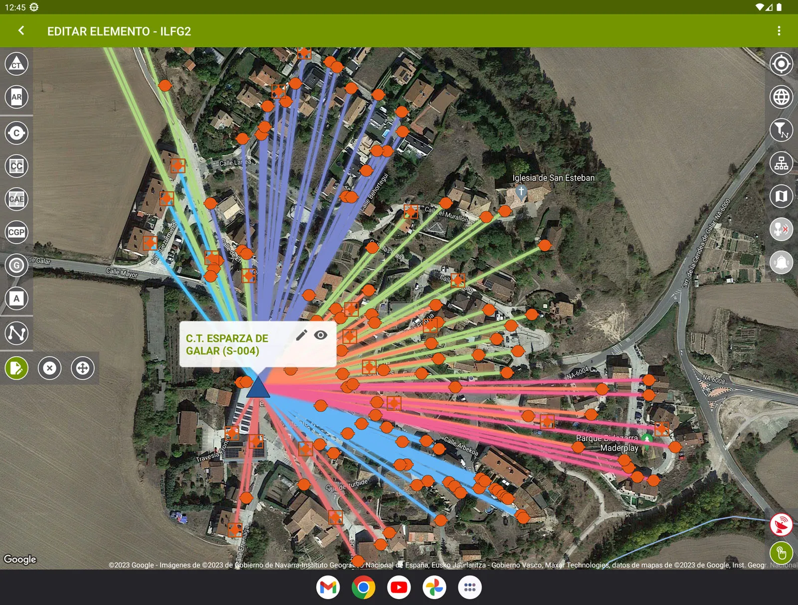
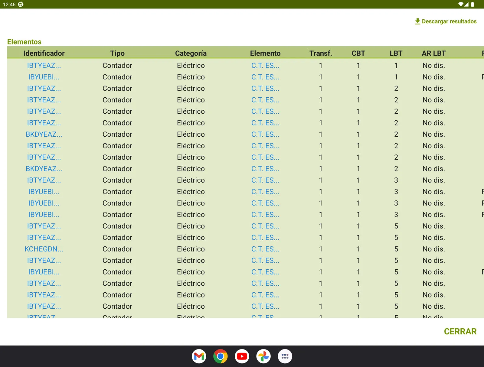
This digital tool allows you to add, edit and store on the same map, the location and connection of all consumers of the Low Voltage distribution network.
Likewise, data can be exported and imported in files compatible with GIS tools, such as GeoJSON, KMZ and Shapefile, integrating them into the company’s information systems in an agile and efficient manner, avoiding transcription errors.
✓ Provides a comprehensive and easy-to-use interface to efficiently manage and update low-voltage distribution networks.
✓ App compatible with Merytronic devices:
– ILF G2 and ILF G2Pro line and phase identifiers.
– MRT-700 and MRT-500 underground line and pipe tracers.
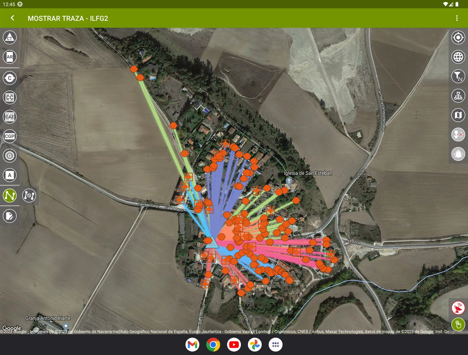
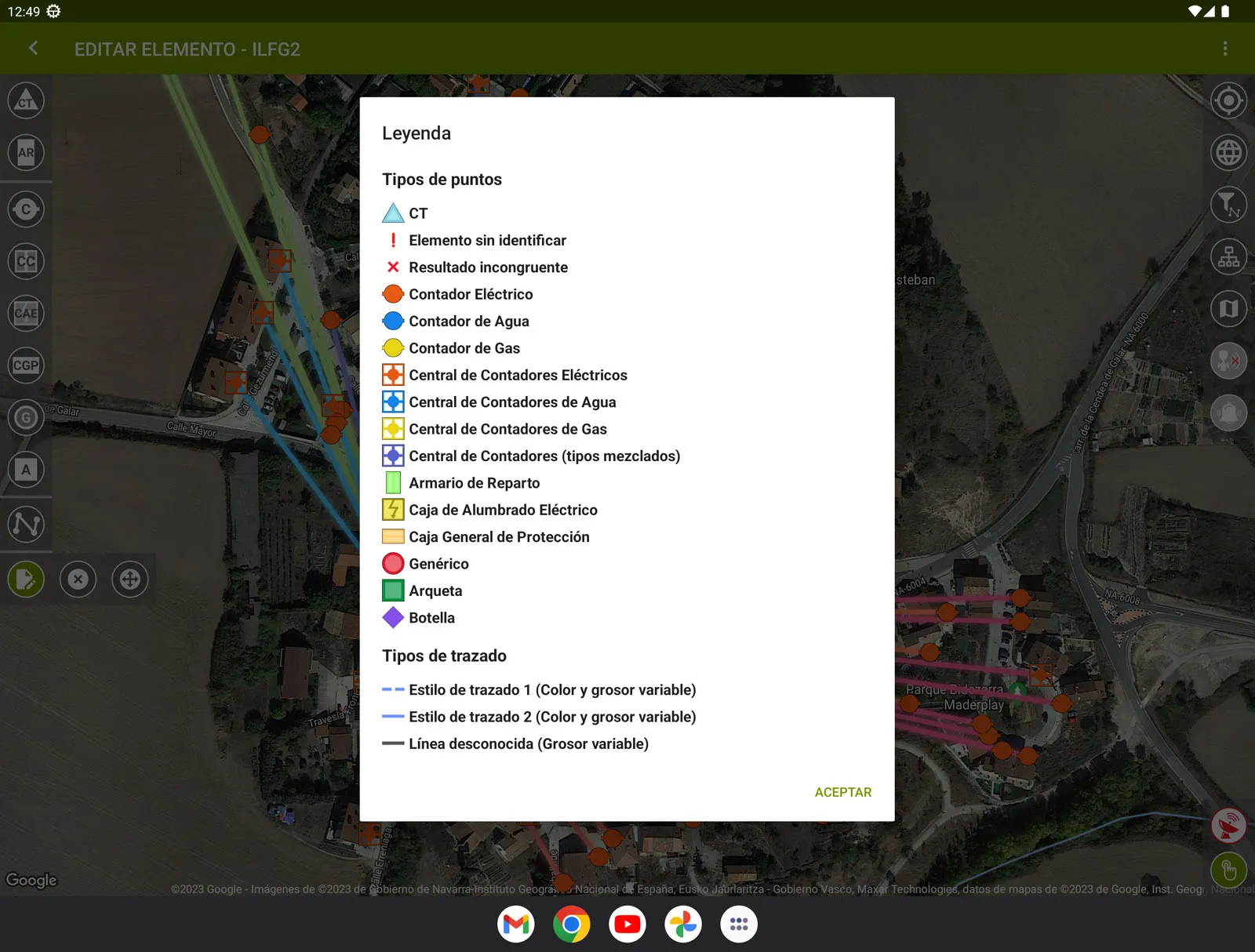
✓ Real-time display of the identified elements on a map of the area. Allows one-click access to all meter data, including GPS location, topology data, additional information and photographs.
✓ Creation of a map with the identified lines. They can be edited later or supplemented with data provided by the MRT-700 or MRT-500 plotter.
✓ Other features:
– Files to import/export: *.kmz,*.kml,*.shp, GEOJSON and *.xls.
– Work progress tracking: worker identification, date, …
– Laying of underground and/or overhead lines
– Trazado líneas subterráneas y/o aéreas
– Together with the MRT-700 or MRT-500 equipment, this app is also suitable for locating and tracing underground metallic or non-metallic pipe networks.
Ariana Grid: https://www.ariadnagrid.com
